Views: 1238
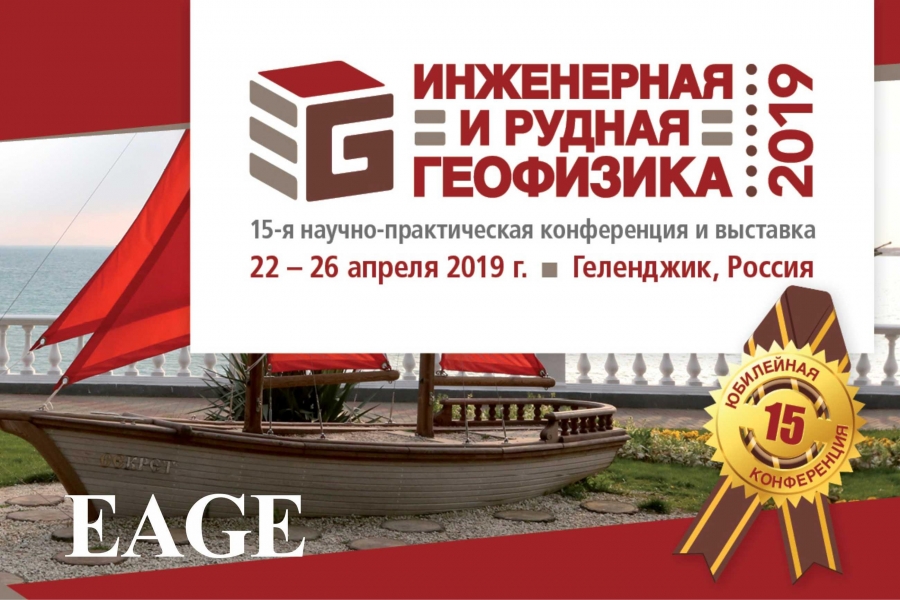
The 15th anniversary scientific and practical conference and exhibition "Engineering and Ore Geophysics 2019", which was held by the European Association of Geoscientists and Engineers (EAGE), took place in Gelendzhik from April 22 to 26, 2019.
The report "Survey of the contact boundaries of the layers of the road structure by georadolocation methods" was made by the staff of the FAA ROSDORNIA: Kulizhnikov A.M., Head of the Department of Design Methods, Eremin R.A. Head of the Department of Innovative Technologies in Engineering Research, Kuznetsov A.O., Chief Specialist of the Department of Innovative Technologies in Engineering Research.
The study presents the results of assessing the state of the contact boundaries of the layers of the road structure on the sections of highways by georadolocation methods, including the effect of violations at the contact boundaries of the layers of the road structure on the strength characteristics of the highway. According to the results of the study, the authors gave recommendations on the use of geo-radar methods in assessing the condition of the structural layers of the pavement of highways at the contact boundaries of adjacent materials.
With a report on the topic "Experience of information modeling of georadar survey results" were made by Eremin R.A., Kulizhnikov A.M., Kuznetsov A.O., Sukhobok Yu.A. (Far Eastern State University of Railway Engineering).
In their work, the speakers described the principles of information modeling, including by the example of the enlarged characteristics of the first edition of the PNST complex developed by the FAA "ROSDORNII" using the technology of information modeling of highways and artificial road structures. Within the framework of the presentation, the methodology of field and desk work and the possibility of presenting data based on the results of a georadar survey in an information model were presented, the problems of data exchange using open and closed formats were identified.
On the scale of the study, the authors proposed a technological scheme for creating information models based on the results of a georadar survey at all stages of the life cycle of a capital construction object and formulated proposals for attributive filling of models.
During the event, our specialists also took participation in the EAGE conference "Marine Technologies 2019", organized in parallel at the same venue. During the field demonstrations, they got acquainted with the peculiarities of the operation of various geophysical equipment - GPR OKO and Terrazond, uninhabited remote-controlled and autonomous underwater complexes with attachments.
Abstracts of the reports are published for EAGE members on the website EarthDoc.org – geological and geophysical database online (www.earthdoc.org ). Abstracts of the report are indexed in the Scopus system
The report "Survey of the contact boundaries of the layers of the road structure by georadolocation methods" was made by the staff of the FAA ROSDORNIA: Kulizhnikov A.M., Head of the Department of Design Methods, Eremin R.A. Head of the Department of Innovative Technologies in Engineering Research, Kuznetsov A.O., Chief Specialist of the Department of Innovative Technologies in Engineering Research.
The study presents the results of assessing the state of the contact boundaries of the layers of the road structure on the sections of highways by georadolocation methods, including the effect of violations at the contact boundaries of the layers of the road structure on the strength characteristics of the highway. According to the results of the study, the authors gave recommendations on the use of geo-radar methods in assessing the condition of the structural layers of the pavement of highways at the contact boundaries of adjacent materials.
With a report on the topic "Experience of information modeling of georadar survey results" were made by Eremin R.A., Kulizhnikov A.M., Kuznetsov A.O., Sukhobok Yu.A. (Far Eastern State University of Railway Engineering).
In their work, the speakers described the principles of information modeling, including by the example of the enlarged characteristics of the first edition of the PNST complex developed by the FAA "ROSDORNII" using the technology of information modeling of highways and artificial road structures. Within the framework of the presentation, the methodology of field and desk work and the possibility of presenting data based on the results of a georadar survey in an information model were presented, the problems of data exchange using open and closed formats were identified.
On the scale of the study, the authors proposed a technological scheme for creating information models based on the results of a georadar survey at all stages of the life cycle of a capital construction object and formulated proposals for attributive filling of models.
During the event, our specialists also took participation in the EAGE conference "Marine Technologies 2019", organized in parallel at the same venue. During the field demonstrations, they got acquainted with the peculiarities of the operation of various geophysical equipment - GPR OKO and Terrazond, uninhabited remote-controlled and autonomous underwater complexes with attachments.
Abstracts of the reports are published for EAGE members on the website EarthDoc.org – geological and geophysical database online (www.earthdoc.org ). Abstracts of the report are indexed in the Scopus system